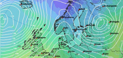
Large-scale weather (LSW)
Large-scale weather (LSW) patterns are weather developments over a large area, which do not
significantly change over several days. According to Franz Baur (1887 - 1977), a large-scale weather pattern is a
certain atmospheric state which substantially remains similar in its characteristic streaming patterns over several
days. Generally, a definition period of 3 days is used.
The weather
itself can change during a large-scale weather pattern, but the character of the respective regional weather remains
the same. The regional differentiation and the typical sequence of large-scale weather patterns define the climate of a region. The large-scale weather pattern is also of
importance to predict the development of the weather and the atmospheric conditions for a longer period.
Description
- Definition
- The weather conditions over a large area which does not substantially change for several days.
- Definition period
- Mostly 3 days.
- Weather change
- Is possible, but the character of the respective regional weather is kept.
- Typical successive LSW
- Substantially define the regional climate; are of great importance for weather forecasting.
- Types
- Zonal, mixed and meridional circulation forms.
European maps
On the four maps below, you can follow the current large-scale weather conditions for the next
3 days. The actual large-scale weather situation depends, naturally, on the weather. It can therefore also change
within the coming days.
To see the up-to-date maps in full size, click on the respective picture.
Risk of precipitation (≥1.0 mm)
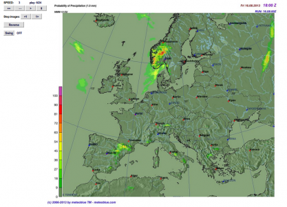
The risk of precipitation is the probability that precipitation of more than or equal to 1.0 mm will occur.
Risk of precipitation (≥0.1 mm)
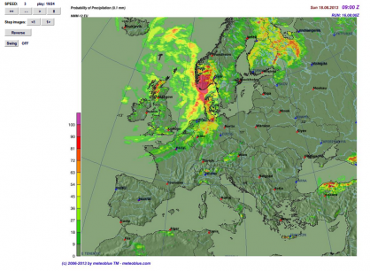
The risk of precipitation is the probability that precipitation of more than or equal to 0.1 mm will occur.
Thickness & barometric pressure
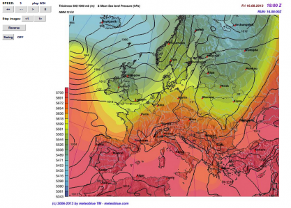
Thickness is the height of the air layer until a constant pressure is reached. The higher this layer is, the more the air in the layer has expanded.
Wind at 700 hPa
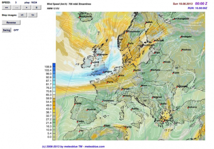
Wind at 700 hPa is the prevailing wind blowing in an altitude where air pressure is 700 hPa. This altitude usually occurs at around 3 km above sea level.
Other maps show the weather for Central Europe, North- and South America, Africa, Southeast Asia or for the World.


