About us
At meteoblue, we are dedicated to delivering the highest-quality weather and climate data for any location on land or sea, anywhere in the world. By leveraging advanced science and technology, we transform complex meteorological data into actionable insights—empowering individuals, businesses, and governments to make informed decisions with confidence.
Our Products & Services
Your favourite source of top accuracy weather information


Swiss precision weather forecasts on your phone


Subscription-based products for private users and small businesses

Customised data solutions for industries requiring precise weather insights
From pioneering high-resolution weather models and high-speed API solutions to dynamic wind flow animations, hyper-local 10m temperature maps, and IPCC-based climate change simulations, meteoblue sets the standard for precision forecasting in a wide range of fields. Rooted in our commitment to "Quality made in Switzerland," we continuously innovate while upholding the highest levels of accuracy and reliability.


Explore our success stories and strong collaborations with business partners across diverse industries, including renewable energy, sensor technology and climate research.
Learn how we support research initiatives by providing advanced weather and climate data for projects in agriculture, environmental monitoring and smart technologies.
Our History
meteoblue originated at the University of Basel, Switzerland, in 2002, when our co-founder Mathias Müller developed high-resolution numerical weather models. In 2004, these models were made available online and quickly gained popularity among outdoor enthusiasts and professionals seeking precise forecasts.
In 2006, meteoblue AG was founded, establishing independent computing infrastructure and commercial services. Over the years, meteoblue has continuously set new standards in weather forecasting, introducing groundbreaking technologies that have redefined how meteorological data is utilised across industries. Among these advancements is the MultiModel approach—an innovative forecasting method that combines data from over 40 different weather models, using artificial intelligence to generate the most reliable predictions available. By developing proprietary solutions that enhance accuracy and accessibility, we have shaped the way users interact with weather information globally.
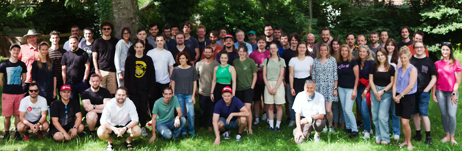
In 2024, meteoblue entered a new chapter when Windyty, S.E. acquired a majority stake, ensuring continued growth and innovation in weather data services.
Our Innovations Over Time
| 2004 | First proprietary simulation model (NMM2, Switzerland) – was published on the website of the University of Basel, with 2 km spatial resolution, hourly intervals and daily updates | |
| 2005 | Wind flow movie – we revolutionised weather data visualisation by adding particle animation overlay to the wind forecast map layer | |
| 2006 | myMap Server – a unique tool to make your own meteorology maps – for everyone | |
| 2007 | Astronomy Seeing – we designed this comprehensive feature for astronomy enthusiasts, enabling them to view all necessary information in one simple chart | |
| 2008 | More local domains (Europe, South America) – we added continent-wide weather models covering the aforementioned locations | |
| 2008 | Global location search – first service to enable users to search for any location globally | |
| 2008 | rainSPOT – meteoblue revolutionised the display of precipitation in the vicinity of the given location | |
| 2008 | where2go – find the sunniest areas in your vicinity | |
| 2009 | meteoMail – was launched – a daily e-mail service | |
| 2009 | More local domains (South Africa, Asia) – we added continent-wide weather models covering the aforementioned locations | |
| 2009 | point+ – we unveiled our premium weather forecast service | |
| 2009 | Cross-Sections – a unique diagram showing a vertical cut through thousands of kilometres of atmosphere, created for aviation and meteorology enthusiasts | |
| 2010 | meteoScool – the first interactive weather- and climate-focused education program for students and educators | |
| 2010 | Solar power forecasts – we developed a system of comprehensive B2B solutions for photovoltaic plants | |
| 2010 | MOS forecasts for high precision requirements – we spearheaded a new high-accuracy post-processing technology for forecast and historical weather data | |
| 2010 | meteo4me – the first iOS App which enabled access to the forecast for any place on Earth, including deserts and oceans | |
| 2011 | Climate Diagram – the first public climate comparison | |
| 2012 | Android app – our first mobile app for Android users | |
| 2013 | Weather archive – first global hourly weather history for every place in the world – started with 5 years, extended to 30 years in 2014 | |
| 2014 | MultiModel forecasts – first publicly available diagrams with multiple weather models | |
| 2015 | Sea & Surf forecasts – we presented a new meteogram designed with all necessary information for outdoor activities close to the seashore | |
| 2015 | Meteogram Short-term Verification – the first meteogram showing users the accuracy of our forecast with actual measurements | |
| 2016 | meteoblue iOS app – we built and launched our first version of the iOS app | |
| 2016 | history+ – the first hourly global 30-year online weather archive for end users with data available within seconds | |
| 2017 | Dynamic weather maps – the first fully zoomable web-based map interface displaying weather data via interactive weather maps | |
| 2017 | Cross-Sections globally – a unique cut through thousands of kilometres of atmosphere and multiple model domains | |
| 2017 | Real-time updates with observations – we improved our forecasts with observation data from more than 100'000 weather stations in real-time | |
| 2017 | Risk assessment diagrams – a new set of diagrams designed to display the probability of weather-related risk | |
| 2017 | meteoTV – we devised a digital signage service, tailored for publicly available screens | |
| 2018 | Seasonal climate forecast – we added a forecast of climate conditions, showing the anticipated conditions for the next 6 months | |
| 2018 | Dataset API – we revolutionised the weather data market by allowing access to our entire weather database via Dataset API | |
| 2018 | mLM – meteoblue Learning MultiModel, a pionieering post-processing technique, comparing data from multiple forecast models against objective measurements, bringing forecasts to the highest publicly documented accuracy | |
| 2018 | Package API – we launched a product for B2B clients, delivering pre-packaged weather data via a high-speed API | |
| 2019 | Global satellite images – the first global high-resolution satellite imagery, displayed in our unique dynamic weather maps interface | |
| 2020 | City climate services – the first real-time urban weather service designed for urban climate monitoring | |
| 2020 | Microsoft Flight Simulator – meteoblue provides detailed weather data that enable uniquely realistic flying scenes | |
| 2020 | Global satellite and radar composite – first seamless satellite and radar composite available globally, producing a unique weather data visualisation | |
| 2021 | meteoblue Ad-free – a new way of using our features and services, without ads or any form of tracking | |
| 2021 | Global Weather warnings – displaying regional weather warnings for almost all countries of the world | |
| 2022 | Climate predictions – meteoblue is the first company to introduce a series of climate diagrams, displaying climate change simulations based on different IPCC climate change scenarios, available to the general public | |
| 2022 | Historical satellite maps – the first service to make historical satellite maps available on a web platform – worldwide | |
| 2022 | ISO-9001 certification – proving the quality of our services, organisation and staff | |
| 2023 | Climate Risk Assessments – location-specific reports for climate risk from 2030-2100, fully compliant with the EU Taxonomy | |
| 2023 | climate+ – fully automated, providing instant access to climate prediction data from 2021 to 2100 | |
| 2023 | Urban Heat Maps – the first ever live hyper-local temperature maps with 10m resolution for 80+ global metropoles | |
| 2024 | New mLM – the new version of the meteoblue Learning MultiModel brings forecast accuracy to unparalleled levels for temperature, wind speed, and dew point | |
| 2024 | API version 2 – making our API the most accurate and versatile in the industry, and our B2B services uniquely fast and safe | |
| 2024 | Acquisition by Windy – Windyty, S.E. has acquired a majority stake in meteoblue AG | |

