
Satellite images
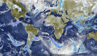
Unique satellite + radar composite
Since mid-2020, meteoblue has been providing a unique composite of high-resolution satellite and radar images, for any location worldwide.
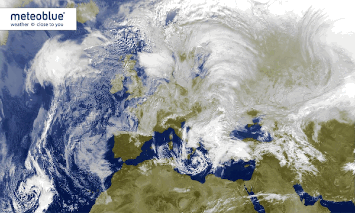
Satellite images
meteoblue offers high resolution satellite images, that show the cloud distribution for any location worldwide.
The satellite images show most of the currently existing clouds. However, small clouds, fog, clouds at night and aerosols are not necessarily visible. High clouds and clouds with vertical development are displayed in white, low clouds and fog in grey. In mountainous areas, snow is sometimes erroneously classified as clouds.
Infrared satellite telemetry is used to calculate the temperature of the clouds. Low clouds and fog are difficult to distinguish from ground temperatures and might therefore be inaccurately identified in places where cloud and ground temperatures are similar.
Meteosat satellite images for Europe are updated in real time every 5 minutes.
Copyright 2019 EUMETSAT / meteoblue
Other map composites
Precipitation over larger areas is derived from radar and satellites. At night, precipitation estimates are therefore less accurate than during the day.
On the map composites, orange crosses show where in Europe lightning was detected.

