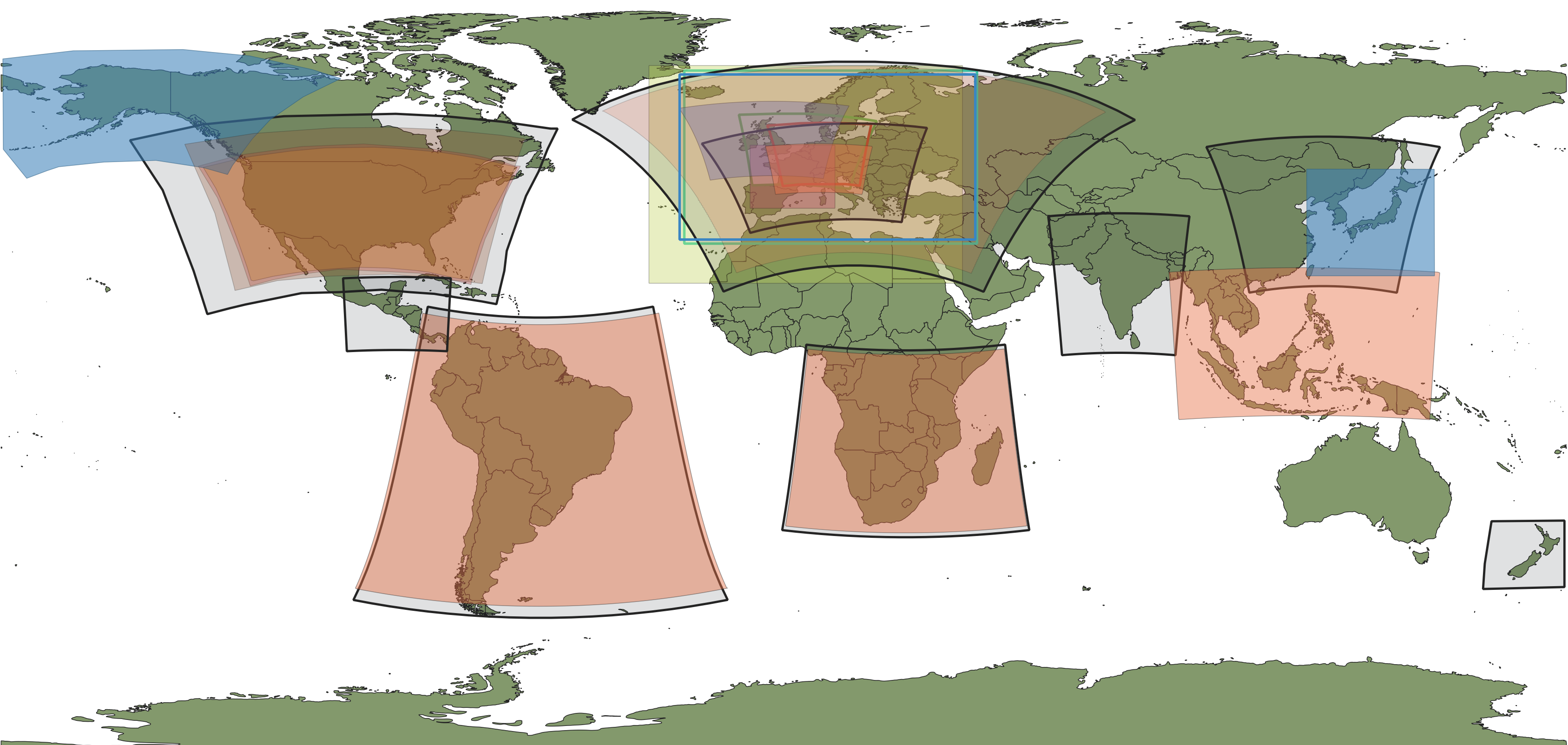
Model domain
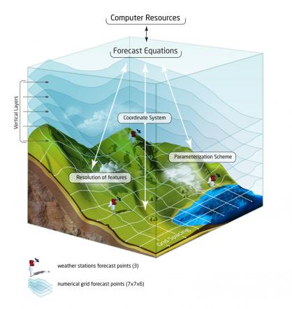
A model domain is a more or less rectangular area, for which the weather is calculated in three dimensions (see picture on the right). The domain is divided into grid cells, which are ordered in rectangular shape, like on a chessboard.
Domains are also called "model domain", "model area", "forecast area" or "area for calculation".
A domain is established to increase the resolution of the calculation for a certain area where more precise weather information is needed, for example an area with mountains, many lakes or high concentration of renewable energy production. For these areas, the distance between grid cells is reduced, so more calculation points are available. For other areas with "easy" topography (like oceans), or of less interest (like deserts), high resolution calculation would normally be too expensive, and the utilization of the modern global models is mostly sufficient.
The domain is "embedded" (inserted) into a larger domain (or a global model) which provides the starting and boundary conditions for calculation (what happens "at the beginning" and what comes in/moves out after 1, 2, 3 etc hours).