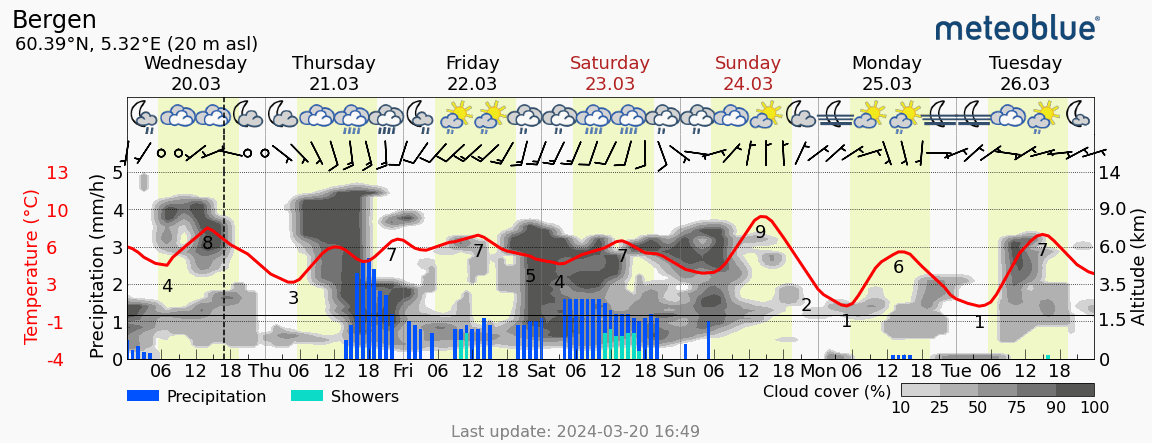
The meteogram All-in-One shows the weather forecast for the next 6 days in one simple diagram, with weather symbols, a temperature curve, precipitation amount and type, cloud development and wind speed and direction in hourly time steps.
The data are valid for the selected location, available for any place on Earth.

The weather information is shown for the indicated altitude. In mountainous terrain, a horizontal brown bar is shown, which represents the average altitude of the area in this meteogram.
The caption on the right indicates the height of the clouds. It determines whether there are low, mid or high clouds. The classification of the height of the clouds can be found here.
Wind speed and wind direction are indicated by arrows. The arrowhead points in the direction the wind is blowing, with the number of feathers attached to it indicating the wind speed. For instance, if the arrowhead points to the north, then the wind is coming from the south and blows northward. It is then called South wind. Precipitation is shown as bars in blue, or light blue for showers. The yellow background color shows daylight, and the white background represents night.
For commercial use, please consult the product page meteoblue API.


