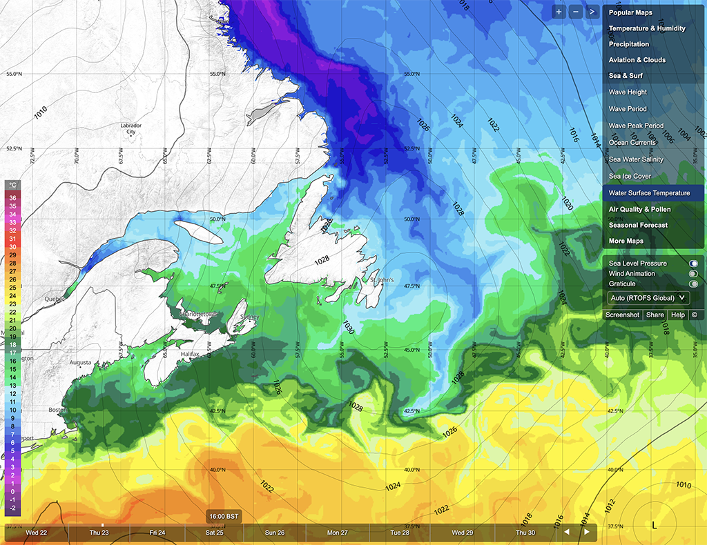
In this section, you will find information about the sea surface, which includes waves (height, direction and period) and sea temperature.
Sea temperature

Sea temperatures are the expected average offshore water temperatures measured in the top 1 meter of the sea for an area of 40x40 kilometres. These are averages, and do usually not reflect the heating effect of the sun on the top 10-20 centimeters, nor do they reflect the water temperatures observed on beaches or in shallow water. The temperatures of water close-to-shore is influenced by many factors, such as sunshine, water depth, waves and local currents, and may therefore differ from the average temperatures. On sunny days, the surface temperature is usually higher than the average temperature indicated for the sea. Due to the complexity of influences on the local water close-to-shore, we do not model this temperature locally. With local experience, you can well estimate local water temperatures based on average surface.
Swell and wind waves
Swell waves are generated by wind far away and may have travelled very long distances (1000's of km), whereas wind waves are caused by the local wind.
Wave height, period and direction
The height of wind waves and swell waves represents the height of the 33% highest waves over a recording time period, respectively. The height is expressed in metres (m).
The significant wave height is the average of the largest 33% of all waves (including wind and swell waves) in metres (m) over a recording time period. It corresponds to the wave height a skilled observer would see. Since wave heights are average numbers, some individual waves can be much higher.
The period of wind and swell waves is the time in seconds (s) between two waves. Further, wave direction is the direction where the waves come from, using the same convention as for wind direction.


