
Automotive
Relevant links
Features
Technical documentation
More free offers
- Visualisation of weather along road tracks in different height levels with Cross-Section images
- Regional risk assessment with weather maps
- Adapt the forecast to the local conditions with integration of road temperature measurements from road weather stations and mobile sensors
- Planning of winter road maintenance with local road ice forecasting
- Finding the best spot for your day trip with where2go images
- High resolution weather models assure accuracy in complex terrain
- Meteograms and other images make complex decisions really easy
meteoblue offers thousands of images from different categories, that can easily be integrated into the cockpit of your car. These images can be individually customised as they are available in many languages for any location on Earth.
Weather APIs
Maps API Fully customisable integration of our stunning weather maps
meteoblue offers various layers of weather maps that can easily be integrated into the cockpit of your vehicle.
All maps are available through the meteoblue API and on the meteoblue website. The meteoblue API delivers the maps as graphics in PNG format for placing onto an existing map (for example Google Maps).
Forecast & History APIs Our recommended solution to integrate weather data in your application
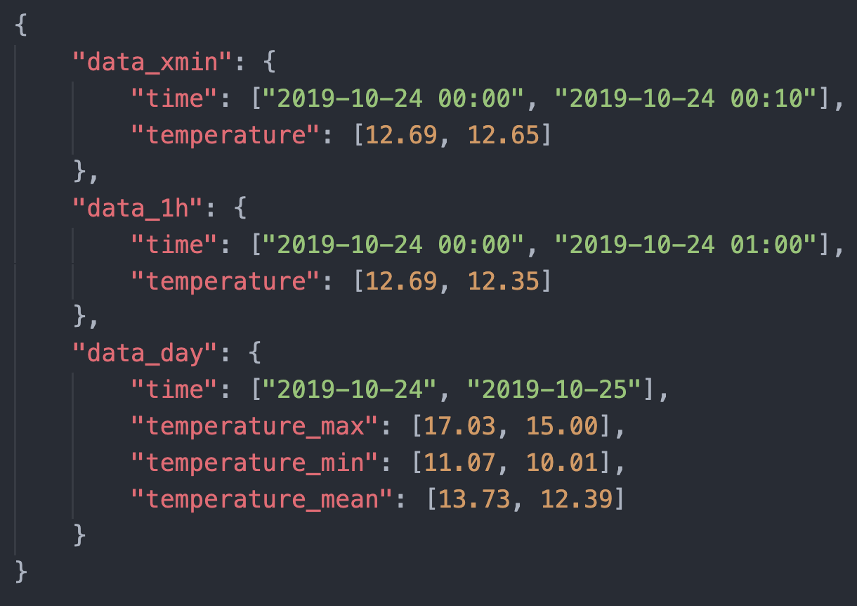
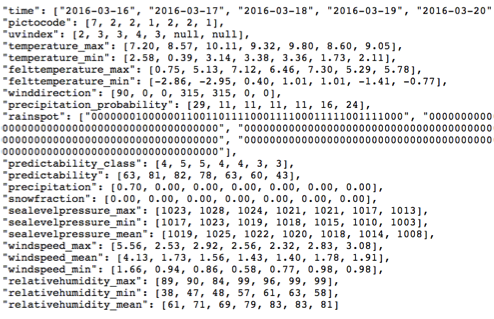
meteoblue offers numerous weather variables which are available as grouped forecast packages and through the History API. There are different variables for specific use cases like agriculture, renewable energy and many others. The variables are available for different historical and forecasting time-ranges in the CSV and JSON formats, and the API can be easily integrated into your system.
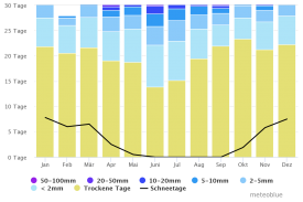
Image API Ready to use weather and climate diagrams
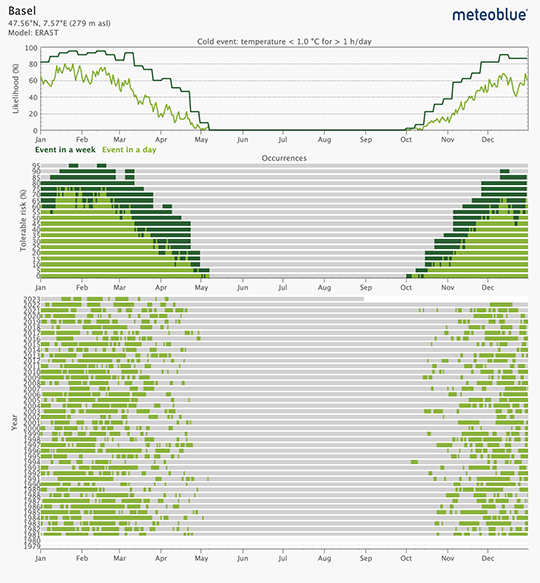
meteoblue offers a wide range of meteograms, that give an overview of the general or specific weather of the next days.
For the automotive sector we recommend the following meteograms:
References


Meteo & Climate services
history+ Analyse historical weather data and climate change
Gain immediate access to the vast meteoblue weather simulation archive, for any selected place on Earth. history+ includes unlimited downloads and interactive tools like year comparison, histogram and risk assessment, customised for the Automotive sector.
Transmission
How to order?
For pricing examples, detailed information on the access levels, meteoblue credits, support levels and license conditions please consult our API pricing page.

If you have any questions or need advice, please get in touch. Our expert on weather data for the automotive sector will get back to you shortly.
Rodrigo Faria
Key Account Manager


